The GeologyOntario (includes OGSEarth) web pages will be updated with a new look in the coming weeks, starting at the end of September 2021.
The updated design improves the user experience by simplifying the layout, making the pages more mobile compatible, and aligning with other Ministry web pages.
Please contact Alphons Evers (alphons.evers@ontario.ca) if you encounter any issues after the change or have any questions.
During this update, this page will be removed. Please update your bookmark to the following: 3D Mapping of Surficial Aquifers.
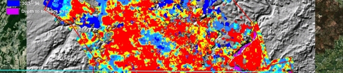
3D Mapping of Surficial Aquifers contains information regarding the three dimensional distribution and character of surficial materials that may form groundwater aquifers and aquitards.
Data includes: borehole information, isopachs, structural contours and both bedrock and surficial geology image overlays.