The GeologyOntario (includes OGSEarth) web pages will be updated with a new look in the coming weeks, starting at the end of September 2021.
The updated design improves the user experience by simplifying the layout, making the pages more mobile compatible, and aligning with other Ministry web pages.
Please contact Alphons Evers (alphons.evers@ontario.ca) if you encounter any issues after the change or have any questions.
During this update, this page will be removed. Please update your bookmark to the following: Administrative Boundaries and Spatial Reference Grids.
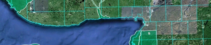
Administrative Boundaries and Spatial Reference Grids contains layers which define different areas of the province according to number of classifications.
Data includes: administrative boundaries such as townships, lots and concessions, municipal boundaries, aboriginal lands, conservation authorities and provincial parks and spatial reference grids such as Universal Transverse Mercator (UTM) Zones and National Topographic System (NTS) map indexes.