The GeologyOntario (includes OGSEarth) web pages will be updated with a new look in the coming weeks, starting at the end of September 2021.
The updated design improves the user experience by simplifying the layout, making the pages more mobile compatible, and aligning with other Ministry web pages.
Please contact Alphons Evers (alphons.evers@ontario.ca) if you encounter any issues after the change or have any questions.
During this update, this page will be removed. Please update your bookmark to the following: Aggregate Resources of Ontario (compilation).
Updated June 30, 2021.
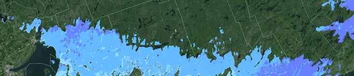
The Aggregate Resources of Ontario—2020 (or ARO—2020) is a GIS-based compilation of the aggregate resources of Ontario is based on data compiled from aggregate resources inventory mapping conducted by the Ontario Geological Survey (OGS) from 1980 to 2020. This compilation includes data updated from the previously published information and may include newer geological data and/or mapping, where the latter are available. It is intended that this compilation will be updated annually. An interim update was issued in June 2021.
It is important to note that this compilation is not intended to be used as a standalone product and the referenced original reports should always be consulted in conjunction with this compilation. Information contained within the referenced original reports (i.e., test results, resource properties and potential) is still highly relevant. However, it is possible that resource estimates provided in the referenced original reports may no longer be accurate, and may not reflect the data contained in this compilation. It must also be noted that, although the data represented in this compilation have been modified and updated since the release of the previously published information, the referenced original publications have not been revised to incorporate these changes.
The compressed (ARO-2020.zip) download file provides data in geodatabase format using ESRI® ArcGIS® 9.3.1 with a completed project file (.mxd). Geospatial data are provided in North American Datum 1983 (NAD83) geographic co-ordinate system using decimal degrees. A user document and readme file that explains the GIS content is provided.
Download the Aggregate Resources of Ontario (compilation) in GIS format