The GeologyOntario (includes OGSEarth) web pages will be updated with a new look in the coming weeks, starting at the end of September 2021.
The updated design improves the user experience by simplifying the layout, making the pages more mobile compatible, and aligning with other Ministry web pages.
Please contact Alphons Evers (alphons.evers@ontario.ca) if you encounter any issues after the change or have any questions.
During this update, this page will be removed. Please update your bookmark to the following: Earth Resources & Geoscience Mapping Section Project areas.
The Ontario Geological Survey (OGS) carries out field-based investigations to define and understand geological processes and the earth resources to support mineral investment priorities and inferences about the state of the environment, natural hazards, public health and safety, and climate change adaptation. As the steward of Ontario's public geoscience data and information, the OGS provides public access to these information and knowledge holdings.
The Earth Resources & Geoscience Mapping Section (ERGMS) of the Ontario Geological Survey is responsible for the mapping of Ontario's geology from Hudson Bay to Lake Erie. This encompasses Precambrian, Phanerozoic, Quaternary, Aggregate, Industrial Minerals geology as well as geochemistry studies, geophysical surveys, overburden and hydrostratigraphic units and contained groundwater resources.
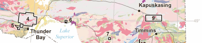
The geoscientists of the Earth Resources & Geoscience Mapping Section of the OGS were out again last summer (2018) collecting new geoscientific information right across the province. Descriptions of the 20 active projects and their locations and a list of related publications can now be viewed here using OGSEarth.