The GeologyOntario (includes OGSEarth) web pages will be updated with a new look in the coming weeks, starting at the end of September 2021.
The updated design improves the user experience by simplifying the layout, making the pages more mobile compatible, and aligning with other Ministry web pages.
Please contact Alphons Evers (alphons.evers@ontario.ca) if you encounter any issues after the change or have any questions.
During this update, this page will be removed. Please update your bookmark to the following: Far North Predictive Mapping.
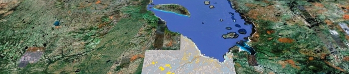
Far North Predictive Mapping contains an interpretation and classification of surficial materials in the Far North of Ontario as predicted by a combination of satellite imagery, digital elevation models and limited on the ground field observations.
Data includes: polygon features of surficial geology material distribution and areas of Rögen moraines, karst and palsas and linear features, such as eskers, drumlins, crests of moraines and abandoned shoreline features.
Download the Far North Predictive Mapping data in GIS format.