The GeologyOntario (includes OGSEarth) web pages will be updated with a new look in the coming weeks, starting at the end of September 2021.
The updated design improves the user experience by simplifying the layout, making the pages more mobile compatible, and aligning with other Ministry web pages.
Please contact Alphons Evers (alphons.evers@ontario.ca) if you encounter any issues after the change or have any questions.
During this update, this page will be removed. Please update your bookmark to the following: Geochronology Inventory of Ontario (compilation).
This database is current to July 30, 2019.
Note: This is the first release in this configuration and it should be considered to be a “beta” version. We welcome comments and suggestions from users regarding changes to the query criteria, report form, etc. Any errors or omissions should be brought to the attention of the Ontario Geological Survey so that they can be corrected, and included in future updates of this compilation. Contact information is provided in the readme document.
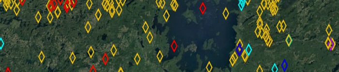
The Geochronology Inventory of Ontario (GeochrON) is a compilation of the geochronology information for Ontario and for adjacent jurisdictions with similar geology. The GeochrON provides an overview of isotopic ages obtained from rock samples from the province of Ontario and contains information on age, error, methods, rock type, sample number, location, geological environment, and the source of the information. It is based on data acquired by the Ontario Geological Survey (OGS) as part of its geological mapping program, data from Geological Survey of Canada publications, and data compiled from the scientific literature from 1932 to 2019. It is intended that this compilation will be updated annually.
The compressed (GeochrON-2019.zip) download file provides GeochrON data in 2 formats: 1) a relational database (Microsoft® Access® 2016 (.accdb) file) and 2) geospatial (ESRI® shape file) provincial coverage. Geospatial data are provided in North American Datum 1983 (NAD83) geographic co-ordinate system using decimal degrees. A user document, a bibliography, and a readme file (that explains the content) are provided. It is important to note that this compilation is not intended to be used as a standalone product and the source reference(s) should always be consulted in conjunction with this compilation.
Download the Geochronology Inventory of Ontario (compilation).