The GeologyOntario (includes OGSEarth) web pages will be updated with a new look in the coming weeks, starting at the end of September 2021.
The updated design improves the user experience by simplifying the layout, making the pages more mobile compatible, and aligning with other Ministry web pages.
Please contact Alphons Evers (alphons.evers@ontario.ca) if you encounter any issues after the change or have any questions.
During this update, this page will be removed. Please update your bookmark to the following: Geology Terrain (NOEGTS).
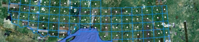
Geology Terrain contains an evaluation of near-surface geological conditions such as material, landform, topography and drainage.
Data includes: land form type, geomorphology, primary material, secondary material, topography and drainage condition, point features such as sand and gravel pits, sand dunes, drumlins, eskers, landslide scars and index maps to study areas.
Download the Geology Terrain (NOEGTS) data in GIS format.