The GeologyOntario (includes OGSEarth) web pages will be updated with a new look in the coming weeks, starting at the end of September 2021.
The updated design improves the user experience by simplifying the layout, making the pages more mobile compatible, and aligning with other Ministry web pages.
Please contact Alphons Evers (alphons.evers@ontario.ca) if you encounter any issues after the change or have any questions.
During this update, this page will be removed. Please update your bookmark to the following: Karst.
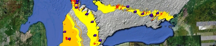
Karst contains a layer which depicts the nature and regional distributions of karstification of Paleozoic bedrock units within thin drift and exposed bedrock regions of southern Ontario and Manitoulin Island.
Data includes: karst point features such as caves, sink holes and disappearing streams, karst and Paleozoic geological units and photographs of various karst features.
Download the Karst data in GIS format.