The GeologyOntario (includes OGSEarth) web pages will be updated with a new look in the coming weeks, starting at the end of September 2021.
The updated design improves the user experience by simplifying the layout, making the pages more mobile compatible, and aligning with other Ministry web pages.
Please contact Alphons Evers (alphons.evers@ontario.ca) if you encounter any issues after the change or have any questions.
During this update, this page will be removed. Please update your bookmark to the following: Mining Claims.
Updated October 5, 2021.
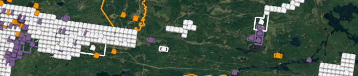
Mining Claims contains active claims and alienations.
Data includes: links to further land tenure information.
Note: The claims data presented here is an unofficial version to be used for viewing purposes only. Official mining claim information is available from the MLAS Map Viewer application.
Download the Mining Claims polygon data in GIS format.