The GeologyOntario (includes OGSEarth) web pages will be updated with a new look in the coming weeks, starting at the end of September 2021.
The updated design improves the user experience by simplifying the layout, making the pages more mobile compatible, and aligning with other Ministry web pages.
Please contact Alphons Evers (alphons.evers@ontario.ca) if you encounter any issues after the change or have any questions.
During this update, this page will be removed. Please update your bookmark to the following: Surficial Geology.
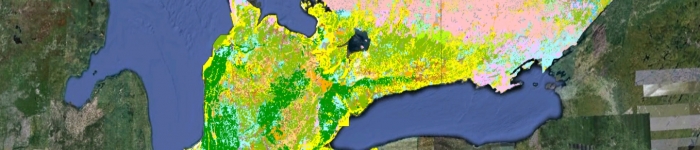
Surficial Geology contains a layer which depicts the distribution and characteristics of surficial deposits across southern Ontario.
Data includes: surficial geology units, linear features such as eskers and bluffs, point features such as drumlins or striae, gravel pit and quarry locations.
Download the Surficial Geology data in GIS format.