The GeologyOntario (includes OGSEarth) web pages will be updated with a new look in the coming weeks, starting at the end of September 2021.
The updated design improves the user experience by simplifying the layout, making the pages more mobile compatible, and aligning with other Ministry web pages.
Please contact Alphons Evers (alphons.evers@ontario.ca) if you encounter any issues after the change or have any questions.
A new dataset has been added: OGSFocus
Table of Contents
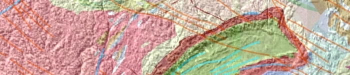
OGSEarth provides geoscience data, collected by the Mines and Minerals division, which can be viewed using user-friendly geographic information programs such as Google Earth.
Available Data
OGSEarth provides data on the following topics:
- Mining claims
- Geology
- Index maps
- Administrative boundaries
- Abandoned mines
Data Formats
The data provided by OGSEarth is available in Keyhole Markup Language (KML) format.
Viewing Data
OGSEarth data can be viewed using Google Earth or other applications compatible with Keyhole Markup Language.
NOTE: The version of Google Earth which runs within the Chrome browser cannot be used to view OGSEarth KML files.
To ensure that you get the current KML file, delete the Google Earth cache file before opening the KML.
How-to:
- Open Google Earth
- select File>Server Sign Out
- Go to Tools>Options
- Select the Cache tab
- Click “Delete cache file” and then OK.
- Exit Google Earth and download the KML.
Google Earth
Google Earth is a 3D geographic mapping and viewing tool. For instructions on how to use Google Earth, read the Google Earth tutorial.
Source Data
OGSEarth data is created from a variety of sources. A link to the original source data is provided with each layer when available.
We are committed to providing accessible customer service.
If you need accessible formats or communications supports, please contact us.
Text based Search
GeologyOntario data can be searched using the text based Search GeologyOntario tool.